-
×
- Startseite
- Kunstdrucke ▸
- Künstler ▸
- Kategorien ▸
- Kunststile ▸
- Bilderrahmen ▸
-
Druckmedien ▸
- Alle Druckmedien
- Leinwand Leonardo (Satin)
- Leinwand Salvador (Matt)
- Leinwand Raphael (Matt)
- FineArt Foto Matt
- FineArt Foto Satin
- FineArt Foto Baryt
- FineArt Foto Hochglanz
- Aquarellkarton Munch
- Aquarellkarton Renoir
- Aquarellkarton Turner
- Aquarellkarton Dürer
- Natural Line Hemp
- Natural Line Rice
- Kozo White, 110g
- Kozo Natural, 110g
- Inbe White, 125g
- Unryu, 55g
- Bamboo, 110g
- Premio Unryu, 165g
- Murakumo Natural, 42g
- Bizan Natural, 300g
- Bizan White, 300g
- Aluverbund 3mm
- Acrylglas 5mm
- Musterset bestellen
- Welches Druckmedium passt?
Leinwand
Fotopapier
Aquarellkarton
Natural Line
Japanisches Papier
Spezialmedien
Weitere Informationen
-
Hilfe & Service ▸
- Kontaktieren Sie uns
- Ihre Kunst verkaufen
- Häufig gestellte Fragen
- Offene Stellen
- Reklamation
- Muster bestellen
- Gutscheine bestellen
- Versandkosten
- Produktionszeit
- Nachhaltigkeit
- Bildrecherche
- Sonderwünsche
- Wer sind wir?
- Preispolitik
- Firmenpolitik
- Qualitätsversprechen
- Keilrahmen
- Passepartouts
- Zierrahmen
- Verglasung
- Fillets
- Aufhängungen
- Druckmedien
- Pflegetipps
- Impressum
- AGB
- Datenschutz
- Widerrufsrecht
Info & Service
Weitere Informationen
Wissenswertes
Rechtliches
- Shop ▸
- Kontakt


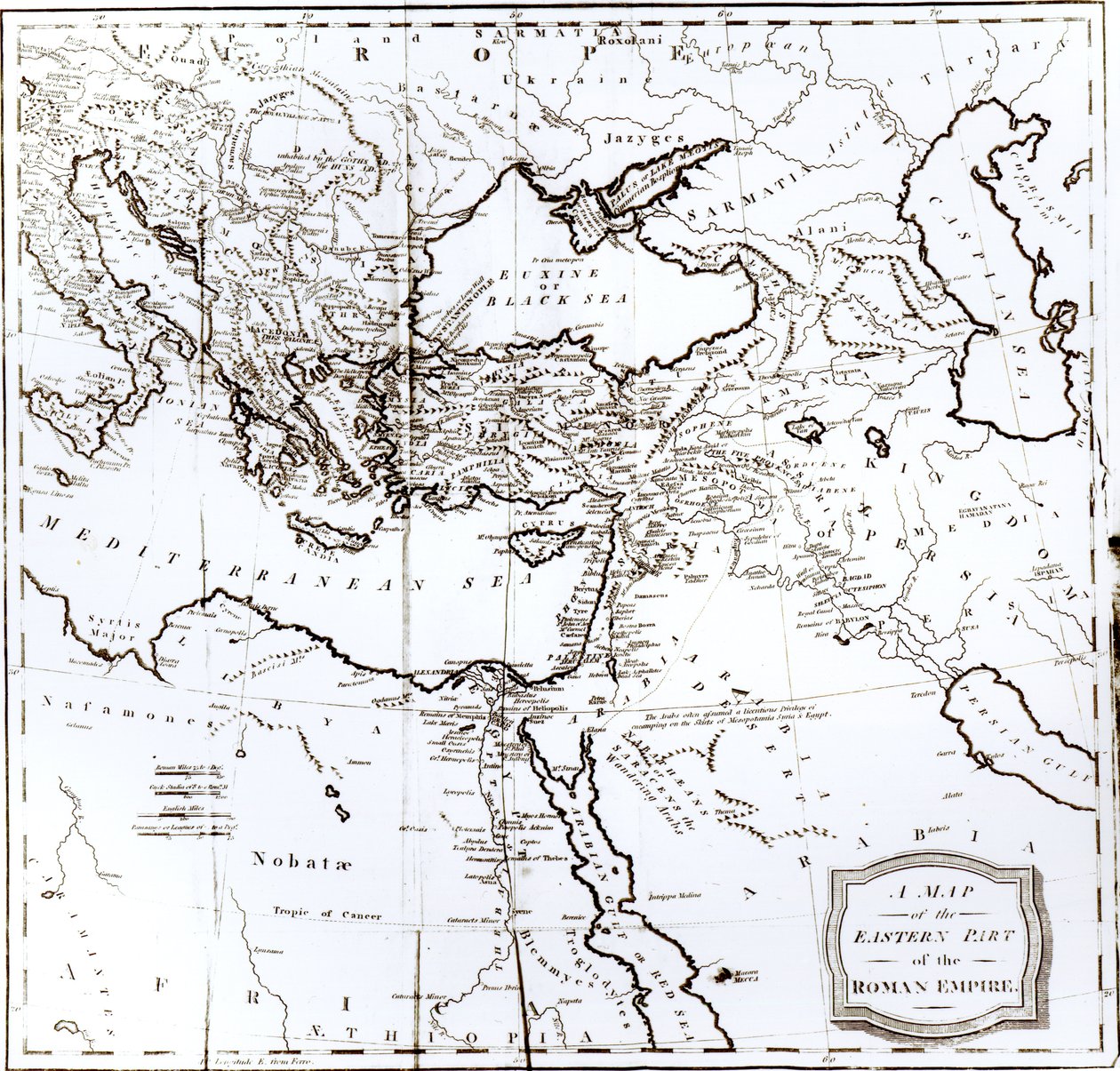
 published Geneva 1780 - (MeisterDrucke-109974).jpg)
.jpg)
.jpg)
.jpg)
.jpg)
.jpg)
.jpg)
.jpg)
.jpg)
_-_(MeisterDrucke-1488079).jpg)
.jpg)
_and_retreat_of_the_ten_miles_-_Pl_-_(MeisterDrucke-927909).jpg)
.jpg)
_-_(MeisterDrucke-1649866).jpg)
.jpg)
.jpg)
 published 1780 - (MeisterDrucke-100078).jpg)
.jpg)
.jpg)
.jpg)
.jpg)
.jpg)
.jpg)
.jpg)
.jpg)
.jpg)
.jpg)
.jpg)
_south_Poland_large_part_of_Ukraine_(excepted_north)_west_-_(MeisterDrucke-1528382).jpg)
.jpg)
.jpg)
.jpg)
.jpg)
.jpg)
_-_(MeisterDrucke-1008944).jpg)
.jpg)
.jpg)
.jpg)
.jpg)
.jpg)
.jpg)
.jpg)
.jpg)
.jpg)
.jpg)
_and_-_(MeisterDrucke-276748).jpg)
.jpg)
 - (MeisterDrucke-101695).jpg)
.jpg)
.jpg)
.jpg)
.jpg)
_-_(MeisterDrucke-507056).jpg)
.jpg)
_and_Fran_-_(MeisterDrucke-157994).jpg)
 - (MeisterDrucke-75897).jpg)
.jpg)
_-_(MeisterDrucke-199615).jpg)
_-_(MeisterDrucke-538687).jpg)
.jpg)
.jpg)
.jpg)
.jpg)
.jpg)
.jpg)
.jpg)
.jpg)
.jpg)
.jpg)
.jpg)
.jpg)
.jpg)
.jpg)
.jpg)


